How We Collect
Fish Forever uses multiple data collection methods to build a complete picture of coastal fishery health. From underwater ecological surveys to household interviews to daily catch monitoring, our integrated approach combines environmental science with community knowledge.
Data Collection Overview
Six Integrated Methods
Household & Community Surveys
Face-to-face interviews capturing socioeconomic data and community perspectives
Catch Data Collection
Daily fishing activity monitoring through OurFish app at landing sites
Underwater Ecological Surveys
Direct observation of coral reefs, fish populations, and marine habitat health
Climate Vulnerability Assessments
Comprehensive evaluations of ecological and social climate resilience
Management Activity Tracking
Monitoring policy adoption, governance processes, and management effectiveness
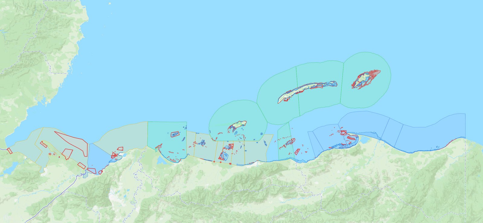
Geospatial Data & Mapping
GIS tools defining boundaries, mapping habitats, and tracking spatial changes
Detailed Methods
How Each Method Works
Community Data
Household & Community Surveys
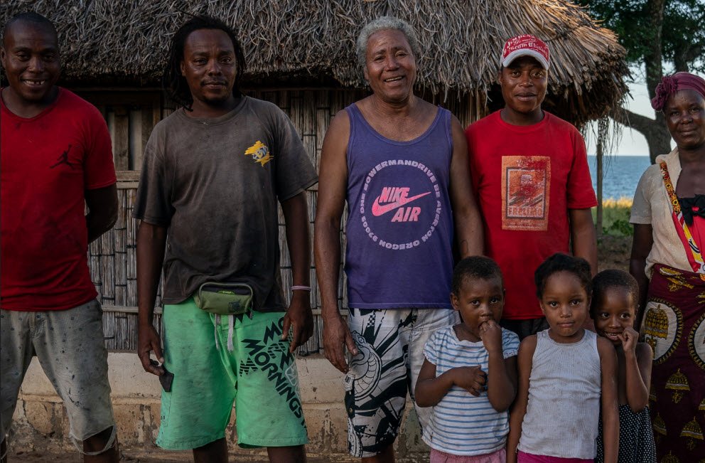
Household surveys form the backbone of our socioeconomic data collection, capturing the human dimensions of coastal fisheries management. These surveys reveal how communities experience management interventions, whether households can meet their basic needs, and what social conditions enable or hinder collective action.
What We Measure
- Demographics and household composition
- Livelihoods and fishing activities
- Food security and household income
- Social capital and collective efficacy
How It Works
- Face-to-face interviews via KoboToolbox
- Random household selection
- Gender-balanced sampling
- 3-year implementation cycles
40,000+ household surveys completed across Fish Forever sites, with proportional gender representation to capture diverse household perspectives.
Fisheries Data
Fisheries Catch Data Collection
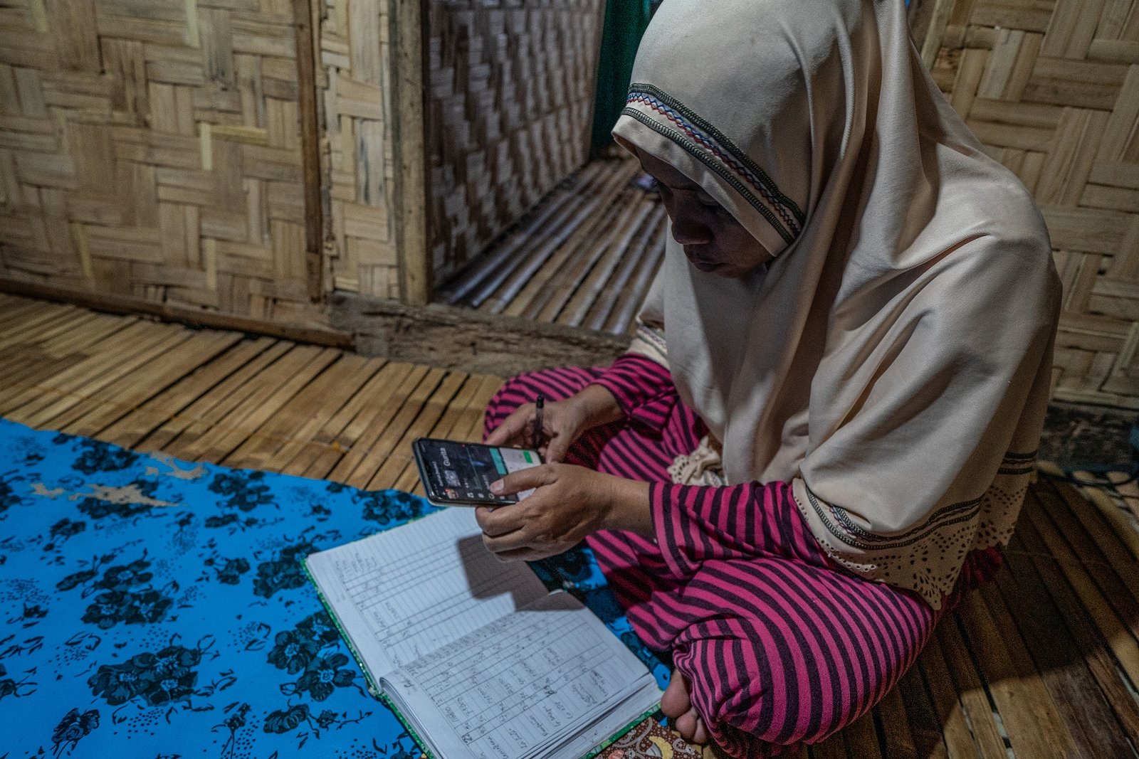
OurFish is an Android application that transforms how we monitor small-scale fisheries by putting data collection directly into the hands of fish buyers and landing site monitors who record daily transactions. The app mirrors traditional paper logbooks familiar to fish buyers, minimizing learning curves.
What We Capture
- Species caught with standardized naming
- Weight and market price
- Fishing location and gear type
- Effort expended (hours, fuel, crew)
User Benefits
- Better bookkeeping for buyers
- Purchase tracking and sales insights
- Near real-time fisheries datasets
- Strong incentives for consistent use
Daily monitoring generates dozens of transaction records per landing site, building comprehensive fisheries datasets that inform adaptive management decisions.
Ecological Data
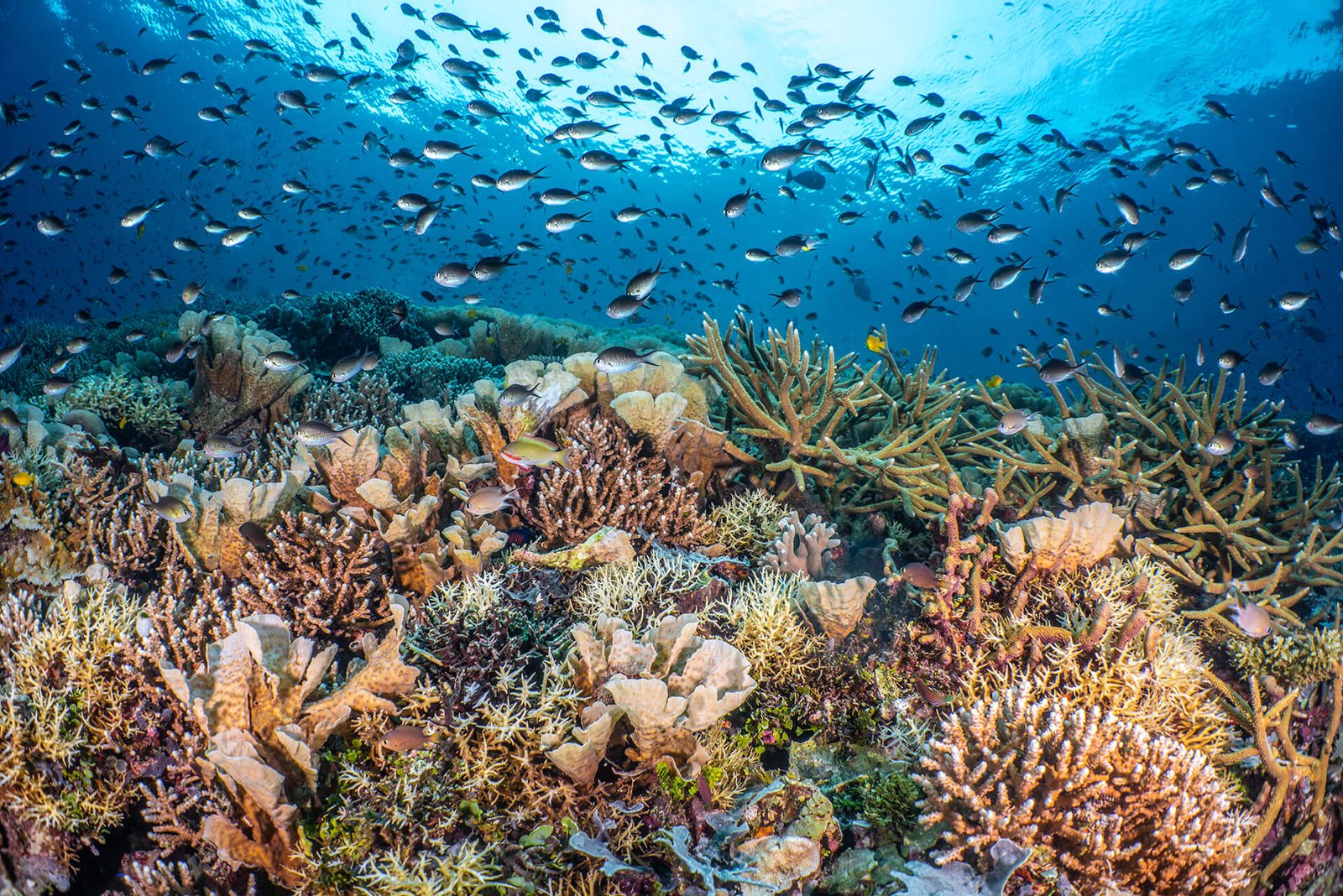
Underwater Ecological Surveys
Direct underwater observation by trained surveyors provides the ecological data essential for understanding habitat condition, fish population dynamics, and ecosystem responses to management interventions. We primarily use MERMAID (Marine Ecological Research Management AID), where divers can easily enter their data after the surveys.
What We Quantify
- Coral diversity and hard coral cover
- Fish species and functional diversity
- Fish size distributions and biomass
- Benthic substrate composition
Integration Power
- Connects with fisheries data
- Reveals ecosystem-human links
- Measures reserve spillover effects
- Enforces taxonomic standards
Digital precision: MERMAID eliminates transcription errors and enforces taxonomic standards, ensuring data quality across all survey sites.
Climate Resilience
Climate Vulnerability Assessments
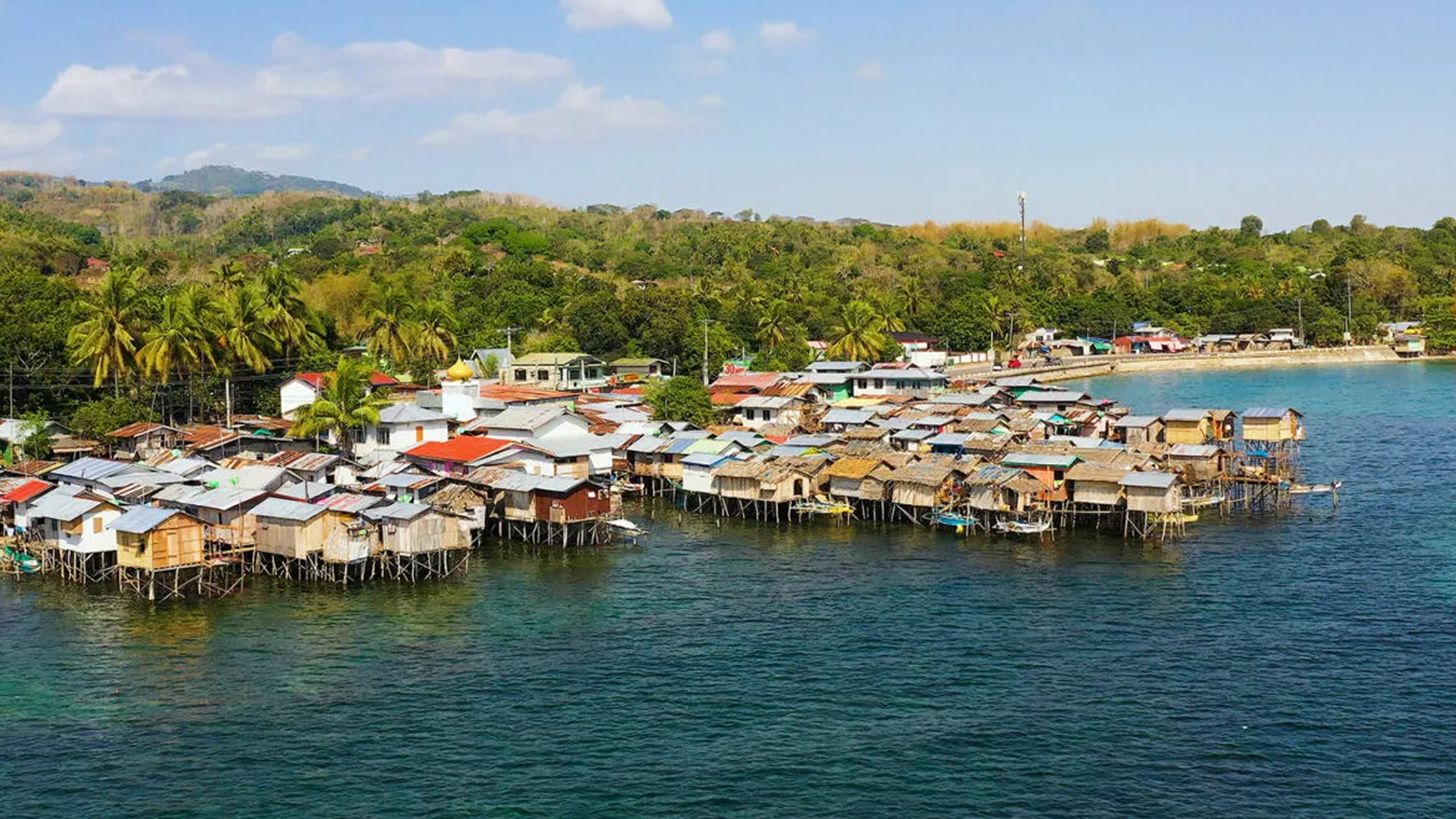
CCVAs provide comprehensive evaluations of both ecological and social vulnerability to climate change, identifying specific threats facing each community and their capacity to respond. Results directly inform adaptation measures incorporated into management plans.
Five Dimensions
- Physical climate exposure
- Ecological sensitivity
- Ecological adaptive capacity
- Social sensitivity
- Social adaptive capacity
Mixed Methods
- Satellite and GIS climate data
- Ecological survey indicators
- Household survey measures
- Community workshops
Actionable outputs: CCVA results identify coral bleaching refugia for protection priority, target livelihood diversification, and strengthen infrastructure in vulnerable areas.
Governance Data
Management Activity Tracking
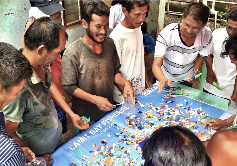
The MA+R Tracker and Fish Forever Data Manager capture progress on management body formation, policy adoption, regulatory frameworks, and governance processes. Role-based permissions ensure data entry by authorized personnel with regular validation reviews.
What We Track
- Decision-making processes
- Policy instrument adoption
- Fisher registration completeness
- Compliance and enforcement
Quality Assurance
- Role-based permissions
- Regional coordinator reviews
- Automated anomaly flagging
- Policy document validation
Framework integration: Management tracking provides most indicators for the Policy & Governance and Co-Management resilience factors.
Spatial Data
Geospatial Data & Mapping
GIS tools create the spatial foundation for management by delineating managed access areas, mapping marine reserves, identifying critical habitats, and tracking habitat changes over time. Spatial data combines satellite imagery analysis, participatory mapping workshops, government databases, and field-verified GPS surveys.
Core Datasets
- MA and marine reserve boundaries
- Habitat type distributions
- Participatory fishing ground maps
- Traditional territorial waters
Applications
- Reserve network design
- Habitat protection metrics
- Enforcement patrol planning
- Program expansion site selection
Ecological connectivity: Spatial data enables reserve network design using connectivity models and calculates habitat protection percentages for impact metrics.